
Heritage Crossing Meeting Materials
Heritage Crossing Meeting #1 Agenda
Heritage Crossing Meeting #1 Summary and Plan
Heritage Crossing Meeting #1 Presentation Slides
Heritage Crossing Meeting #2 Agenda
State Center Neighborhood Alliance (SCNA) Meeting Materials
State Center Neighborhood Alliance Meeting #1 Agenda
State Center Neighborhood Alliance Meeting #1 Summary and Plan
State Center Neighborhood Alliance Meeting #1 Presentation Slides
State Center Neighborhood Alliance Meeting #2 Agenda
Vital Signs Community Profiles (2010-2016)
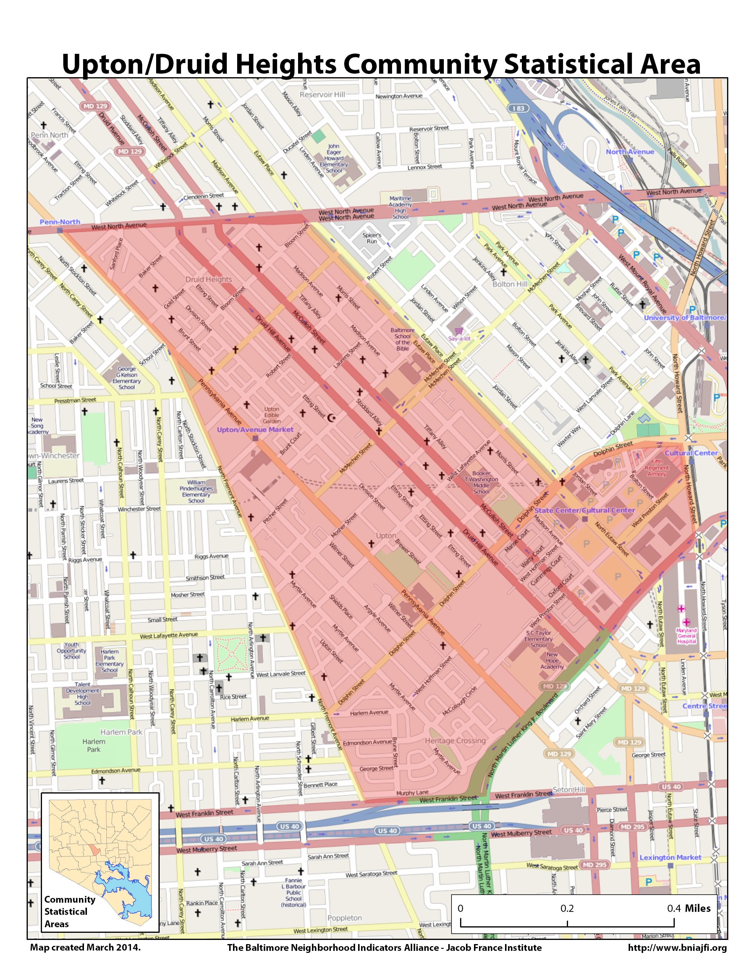
Upton/Druid Heights – Data Page | Downloadable PDF | Reference Map | CSA and Neighborhood Map
The Upton/Druid Heights Community Statistical Area includes the Druid Heights, Heritage Crossing, Madison Park, and Upton neighborhoods.
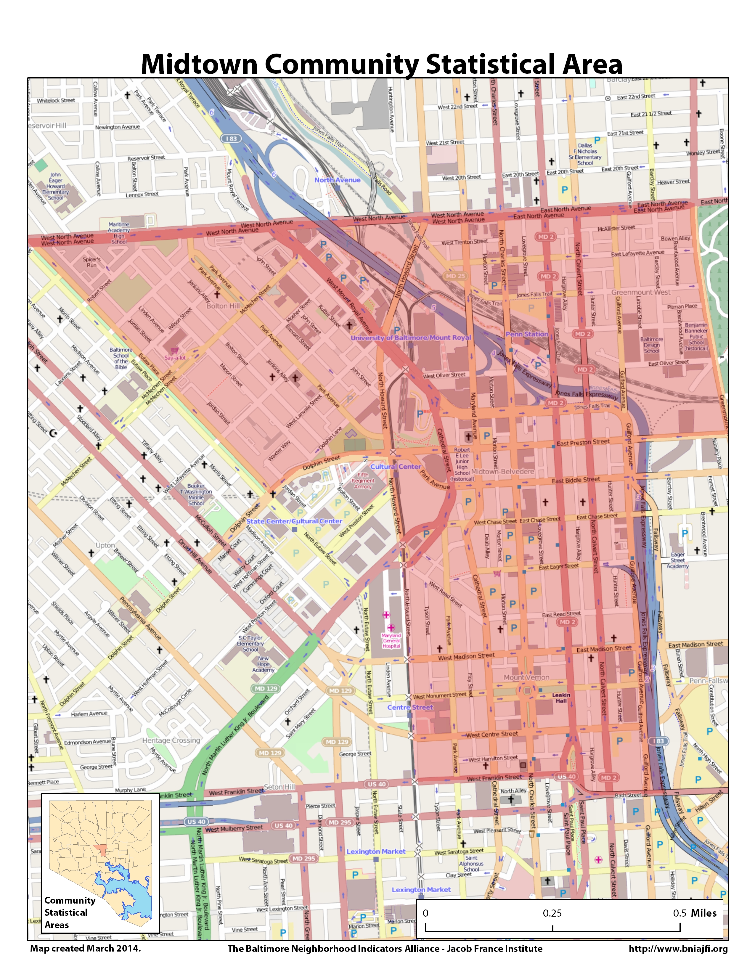
Midtown – Data Page | Downloadable PDF | Reference Map | CSA and Neighborhood Map
The Midtown Community Statistical Area includes the Bolton Hill, Charles North, Greenmount West, Mid-Town Belvedere, and Mount Vernon neighborhoods.
Neighborhood Data Profiles (2000-2010)
These neighborhood profiles are available through the Baltimore City Department of Planning. Additional neighborhoods not listed below can be found here.
Bolton Hill | Charles North | Druid Heights | Greenmount West | Heritage Crossing
Madison Park | Midtown-Belvedere | Mount Vernon | Upton
OnTheMap
“OnTheMap is an online mapping and reporting application located at onthemap.ces.census.gov that shows where people work and where workers live. OnTheMap was developed through a unique partnership between the U.S. Census Bureau and its Local Employment Dynamics (LED) partners.”
OnTheMap Quick Instruction Guide for Creating Custom Reports | More information and assistance
Additional Helpful Resources
Baltimore City Neighborhood Profiles (2000-2010)
Open Baltimore Data Portal
Maryland Real Property Lookup
OnTheMap Employment Tool
Baltimore City Health Department Profiles (2008, 2011, 2017)
Smart Cities Fact Sheets
Smart Kiosks
Smart Streetlights
Smart Transportation
About the Project
The University of Baltimore is among four of Maryland’s leading universities working together on a plan to apply cutting-edge technologies—such as free public internet, smart street lights and innovative transportation hubs—to improve the lives of residents in West Baltimore. Led by the University of Maryland, College Park, and supported by a grant from the National Science Foundation, the “Smart Cities” initiative will pair smart technology with the latest research in equity, health and urban planning to outline a roadmap for city policymakers as they work to increase quality of life in Baltimore. Other universities involved include the Center for Government Excellence (GovEx) at Johns Hopkins University and Morgan State University.